McCartney Mountain, MT| May, 2017
Summit
4wd + Short Hike (0.9 Miles, +631 ft., -215 ft.)
Directions:
Exit east from Exit 85 on I-15
Drive 4.3 miles south on Hwy-91
Turn left on Burma Road – Continue 3.1 miles
Turn left on 2-track at Chokecherry Gulch (by gravel pit)
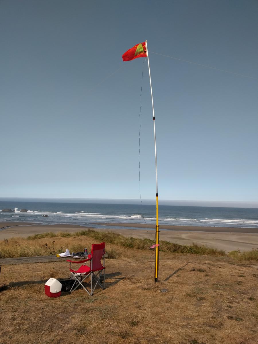 This wasn't an actual SOTA operation, but it was done in SOTA style. For today's Eclipse QSO Party, I took my SOTA gear to Oregon's Devil's Kitchen State Beach.