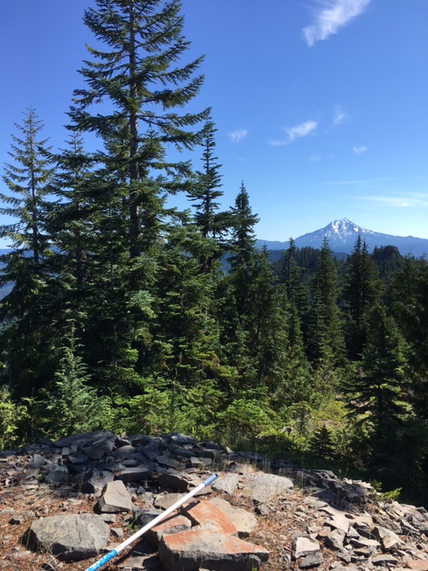
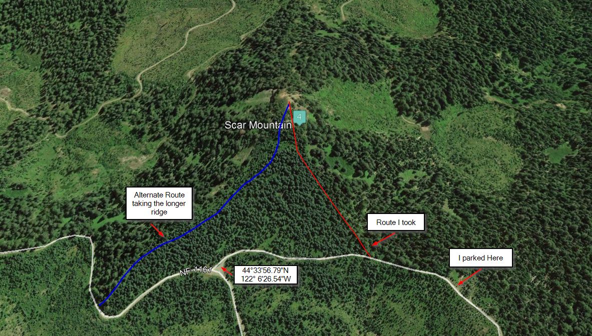
Scar Moutain is a old lookout site. No trail to the summit which required some bush wacking. Start by taking Parish Road off of Highyway 22 east of Detroit at 44°31'31.88"N 121°59'40.09"W. Follow this for about 2.25 miles. Turn right onto NF-1164 at 44°31'19.71"N 122° 1'49.04"W for about 2.5 miles. Then turn left on NF-1161 at 44°33'2.95"N 122° 2'38.65"W. Follow this for 4 miles. Turn left at 44°33'56.79"N 122° 6'26.54"W. The peak is on your left. After I went left I parked on a wide spot on the road less then a quarter mile in. There are two ridges that can be used to get to the summit from here. The short one is the one I used. the longer one probally would be easier as the short one was steep with brush to wack through. you will cross a trail which I belive is the old cascade trail. There is large trees on the summit for one to hang wires.
NOTE THAT THE MAP BELOW IS LOOKING FROM THE NORTH.