Summit
Trail Characteristics
APRS Coverage
Don't know
Cellular Provider
AT&T
Voice Cellular Coverage
Spotty, may not work at all
Data Cellular Coverage
Spotty, may not work at all
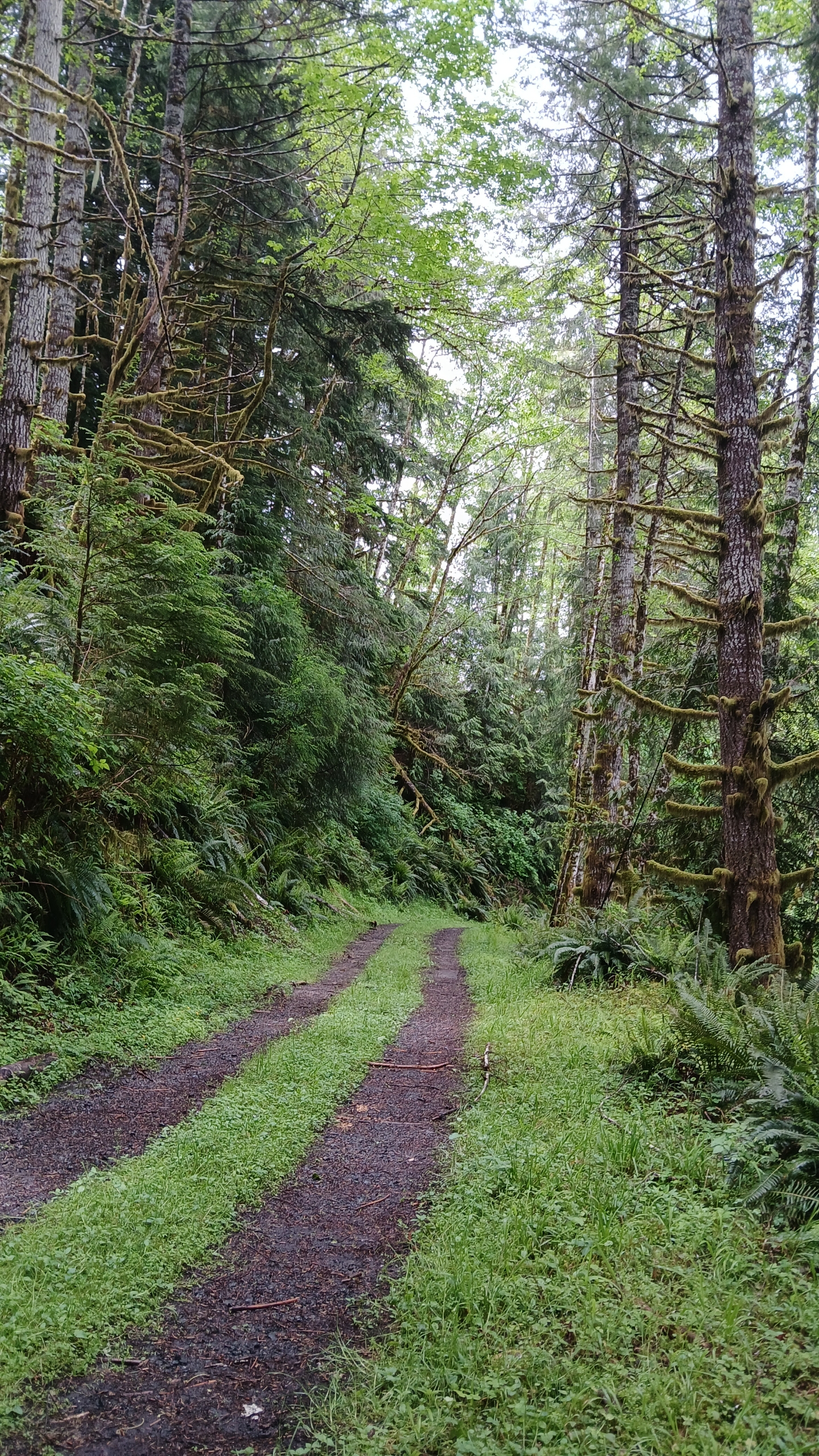
Summit 1510 is a 1-point drive-up approximately 22 miles east of Coos Bay, Oregon. This summit is on State land. Roads are generally well maintained but the last section may be quite muddy/slick with some exposed rock. Marginal cell service was available on AT&T and Verizon.
Directions to the summit:
- From Coos Bay, follow Hwy 241 East for 14 miles to Allegany.
- After the Old Allegany Market, proceed 0.7 miles to Marlow Creek Road, turning left (43.43454, -124.02491).
- Continue 1.2 miles, turn left on the unmarked gravel road at (43.44747, -124.02001).
- Continue 1.9 miles further to the left turn at (43.46096, -124.02293).
- Drive 0.4 miles on this moderate road. Mid clearance w/AWD recommended.
You can activate from the roadway, which is in the AZ.
Expect few, if any, contacts on 146.52. 146.58 is generally not monitored in this area.
Pictures