2012-05-19 "Mt. Aurora" W7W/RS-045 CN97ea84
After the two forest road summits, I have looked for something similar again. I have checked out the road after Divide Ridge. Then I was able to drive up to 3360 feet. The forecast for today is very promising, but next day some rain will come.
Start elev.: 3870 ft (1180 m)
Max elev.: 5589 ft (1704 m)
Total ascent: 2321 ft (707 m)
Trip odometer: 8.1 mi (13.036 km) Up: 4.9 mi (7.886 km) Down: 3.2 mi (5.150 km)
Total time: 9h25m Up: 3h18m Down: 2h11m
Video
APRS

I made two delicious sandwiches for the drive, just like before. Leave Seattle around 0430 and eat one of the sandwiches during my drive. This time I can go up higher on the forest road and stop at 3870 feet. Here I don’t even play with the snow chains as the snow is constantly deep after this elevation. Pull to the side and start my hike at 0632.
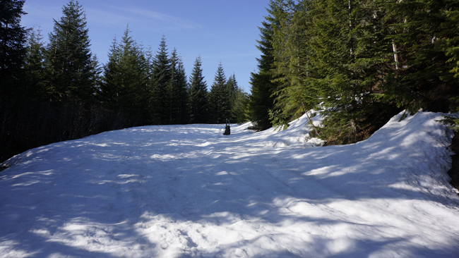
The forest road is fully covered with deep snow. At the beginning I can walk quite well, but after a while I think it will be better if I put my snowshoes on. I stop and detach them from the back of my pack and take them on. Here I have realized that I left my sunglasses in the car. Anyway, I won’t need them on this trip. I thought and continued my hike. The sky is totally covered by clouds. Because it still was early morning and was walking in the shades of the trees, I have not felt the necessity of it. However, it just keeps bugging me. I came up with an idea if it will be too sunny, then I will use my shemagh in front of my eyes as an UV limiter. Keep on walking. It is a crucial part of your gear. Sometimes at higher elevations I cannot even keep my eyes open even when inside the clouds and do not see the sun at all. When arrive at a turn and change direction, I step outside the shade and I see immediately that this will not work. Have to go back for the sunglasses. The problem is that I have covered a lot of distance since take on the snowshoes. I should have turned around then immediately. I only want to waste as much time as absolutely needed. So I leave my whole backpack on the road. Fetched essential things to me and start walking downwards back to the car. I thought if anyone will come, they will come from down. My pack intact on the road, when I arrived back from the car.
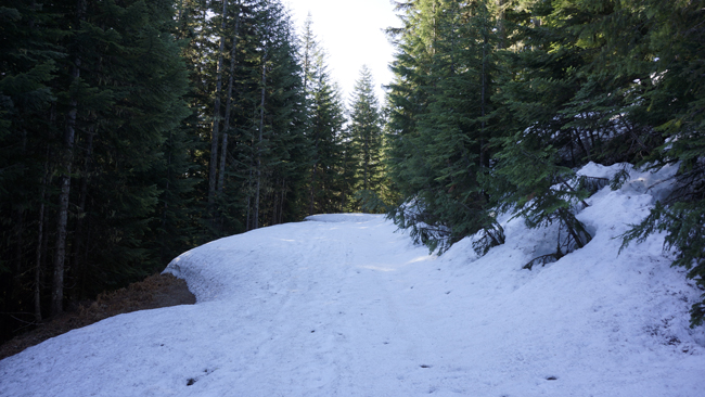
Took me 32 minutes to get the sunglasses without the backpack. Luckily wild animals did not “attack” my left alone bag. I was not happy with this idea to just leave it there, but at the end it worked out fine. Now with sunglasses in my possession continue my journey upwards on the forest road. I have no need to wear it at this time though. :) After a couple of more turn on the road and I reach the trailhead for the Suntop trail. Here one can go right, up to Suntop. Or left, which will take you along just below the ridgeline. I turn left, towards south.
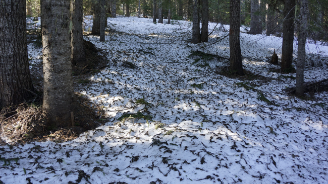
The trail goes in a sparse pine forest. This is a shady trail, as the canopy closes up high. I can follow the trail quite easily. The snow on the ground is very uneven. I think it is caused by snow packs fallen from the branches. Up there they receive more sun and start melting, than fall to the ground where it will be frozen again. It would be hard to walk in the boots, so I leave the snowshoes on.
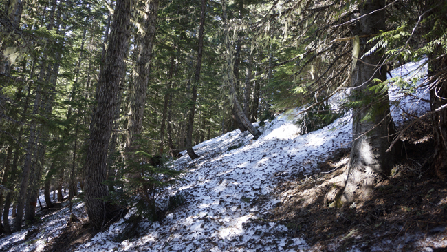
There is no significant rise till the first small peak along the ridge. The trail goes along on the left side. Even here only some sections are annoying in the snowshoes over the steepness. I rather suffer through these points than take them off. I am sure later I must need them again. After this soon I reach an opening. Here there is much more snow.
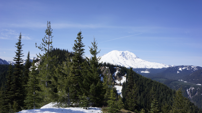
After the flat glade I have to climb a peak. I saw my destination first, when I reached the top. Looks very cool. Lot of rocks on the left side, more rocks on the right side and a huge drop. I stop here for a break. The volcano also looks good. During my rest I discover that because of the shape of the SOTA peak and the drop on the right there is a fantastic echo. I play with this for a while and try to do some recordings too. Unfortunately only my shouting can be heard the echo not. The echo makes it worthwhile to visit this peak. I have some serious doubts about the climb, looking all these rock from this distance. Here I had to use the sunglasses. :)
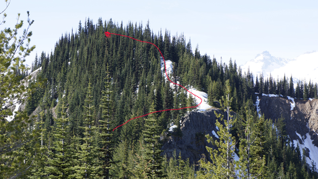
From this peak I have to walk down a little. The trail goes around on the left side of the summit. My plan is to go on the trail and leave that to the right and I will join onto the ridge. There on that snowy bit I could walk up easily. From this point I cannot see how it is possible to gain access to the ridge as it is hidden. Time to start. The sun melted the top layer of the snow. It is already slushy. I gain access to the ridge with a steep bushwhacking amongst dense vegetation. Here I had to suffer a little.
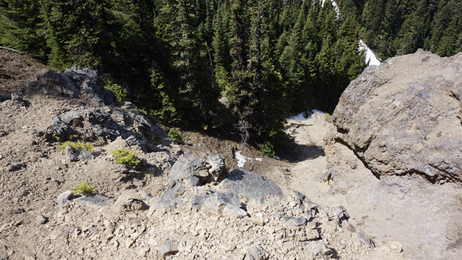
After the clear easy walk on the snowy ridge, I get into some hard sections. It gets steep and one time I have to get down on all fours to get over a snow wall and get through some braches the same time. Just before the summit area I have to cross a very narrow section on a goat trail. You got to be careful here! Fall here most likely will be fatal. Here one of my walking poles fall out of my hand and stops it’s sliding on a steep bit. I do not stop. Carry on to the summit and put my backpack down. After a small rest I get back to recover the pole. I got it back.
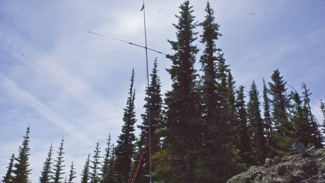
The summit itself is not really wide or big and it is steep. There are also a lot of goat drops, it could be a favourite spot for them. I can place my pole into the snow and I do not even have to guy it eventually. I decided that I will operate mainly on HF this time. I want to figure out how to tune this antenna. This time the weather is good and the climb was not long or exhausting. So I have the will and the energy to play around. I use shock cord whips, not the telescopic ones this time. Set it up according the cheat sheet. I got a horrible SWR. I measure this with the radio. I did not bring the analyzer. After this I start to tune the coils by ear. Move the connector piece along the coil and when get the most noise that position I attach it to the coil. This is a very good method. On Hucleberry I was playing with the length at least an hour, but never got it right. After get both sides tuned by ears, I have a look at the radio SWR meter. Hmmm, not too bad. I shift one side 1/3 turn and I got it around 1.5. Perfect. The display on the 857 only jumps one or two units on 100W whistle. Let see what is on the band. Start calling CQ on an unused frequency on 14 MHz. The Buddipole on a retro picture. :)
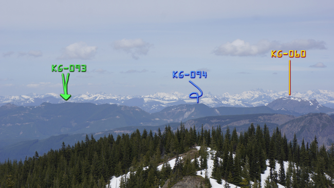
After a station or two I send out an APRS spot message, which I think it made it up on SOTAWatch. Despite of this still not a lot of chasers. South direction is very good for me this time. My signal is strongest in California and Nevada. Also stations from here are very loud at my side. After a while I reduce the power to 50 W. Almost during my whole outing I got stations for CQ. I did not assemble the yagi for VHF. After a lot of CQ I start making some food. I get snow from far to avoid goat shit. Make a lot of pictures too. This one I made a little further down on the ridge as this direction is hidden by pine trees. From left to right: Huckleberry, Divide and Kelly Butte.
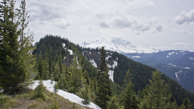
With twenty QSO in the log I start packing very satisfied. Eat my food and leave the summit. The forecasted rain for Sunday is almost here. Rainier is already covered by clouds. There are some very nice flat area lower on the ridgeline, but these are out of the activation zone. Make a good progress downhill. I play again with the echo before entering into the forest.
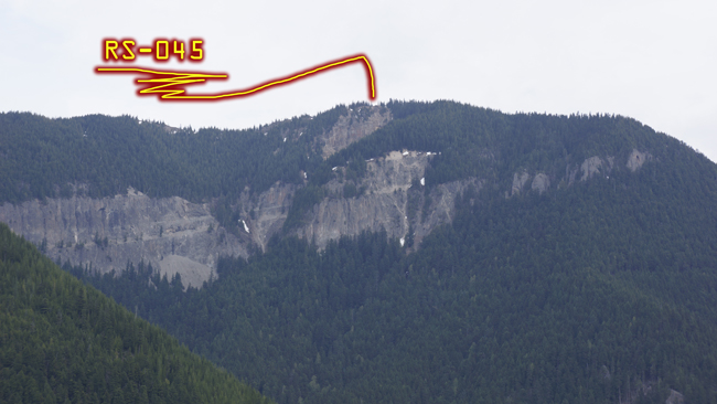
When I got back to the trailhead I was thinking about to go up on Suntop and check it out, but eventually I walked back to my car. Because I still had a lot of time, I started to look around the area and tried to check out the summit from the opposite ridge. I found a good place from where I made this picture. Well, you can see why you don’t want to fall down from there.
Finally a successful HF activation since Tumtum. Despite the extra misery caused by the sunglasses it was a good trip. Especially if I take into account the echo. However the summit is not that great, I say visit this place for the echo. Another six point in my bag. Extras during the journey:
Extra ascent: 466 feet (142 m)
Extra distance: 1.7 mi (2.736 km)
Extra time: 32m
HG1DUL 2012-06-12
