Mt Hood, OR | Jan 2022

Submitted by N7KOM on
Summit

Yesterday morning I climbed Mt. Hood (W7O/CN-001) for a sunrise SOTA. I think this was my 6th ascent of Hood. Conditions on the mountain change daily & weekly. This was one of the more difficult ascents & descents. 

My friends and I left the climbers lot at Timberline just before 2am. We took our time and made the top of Palmer around 3:40am. After a quick breakfast we continued up the mountain on good solid snow. We were hit with sulfur from Devils Kitchen throughout the hike up. 
McClellan Butte, WA | July 2021

Submitted by WA7JNJ on
Summit

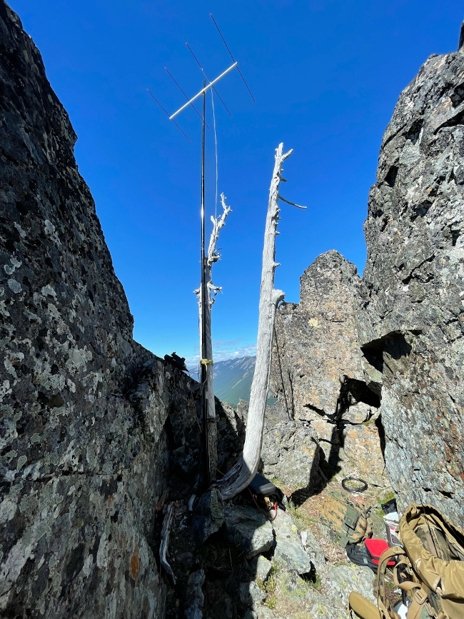
McClellan Butte had been on my list the last year or so as challenging hike, due to the last section required to get within the activation zone.  I've watched the video below multiple times, and it provides helpful trail and summit information...along with an alternate parking/hiking to shorten length.  The video also captures the summit scramble and views from the summit.   

https://www.youtube.com/watch?v=VXoGEuyaKow

Summary of the year 2021

Submitted by HG1DUL on

One picture and a short description.

1. W7W/RS-020 | Governors Ridge

My second visit, steep and difficult. Nice summit area with a balcony like area to set up. Left a new register in place.

Governors Ridge

2. W7W/MC-019 | McNeil Peak

Hiked in sport shoes, probably better to use boots as there are some steep, slippery bits accessing the summit.

Prune Hill, WA | Dec 2021

Submitted by NE7ET on
Summit

I was able to activate Prune Hill this past Friday morning along with Rich KJ7UIP.  Google Maps had accurate directions to Dorothy Fox Park which is inside the activation zone.  The park was a bit soggy from all the rain but we found a convenient tree to lean a fiberglass mast against w/ a J-pole for 2m.

Got 6 QSO in short order.  Thanks again to all our chasers!!!

We then headed up the gorge to activate Beacon Rock (W7W/LC-163).

Wickiup Mountain, OR | November, 2021

Submitted by K7AHR on
Summit

Wickiup Mountain is a summit on the edge of Astoria's Bear Creek Watershed, from which they draw their water, as well as an active radio site. As such, access from the south is gated, and road access from the north stops just shy of the summit. What followed is one of the thickest, roughest bushwhacks, mile for mile, of my SOTA career, but it was nice to tick this one off the list. If you route find a little better than I do, you might have a better time, and if you hit it earlier in the year, the die-back of the brush might benefit you.

Wapato Peak, WA | Dec 2021

Submitted by K7NCM on
Summit

I completed the first-ever activation of Wapato Peak today (Peak 3380). Wapato Peak has no official name in the SOTA database, but several sources mention this one so it's the name that I will use.

There is no established trail, but the hike is fairly easy, with only ~800 feet of elevation gain and a 1.5-2 mile round trip. It is steep at times, but I found it manageable with trekking poles and ordinary hiking boots even with an inch of snow on the ground.