
Bad or No Parking at Trailhead

Trailhead has limited or no parking

Magnetic Hill near Bellingham WA

Submitted by KA7GPP on
Summit

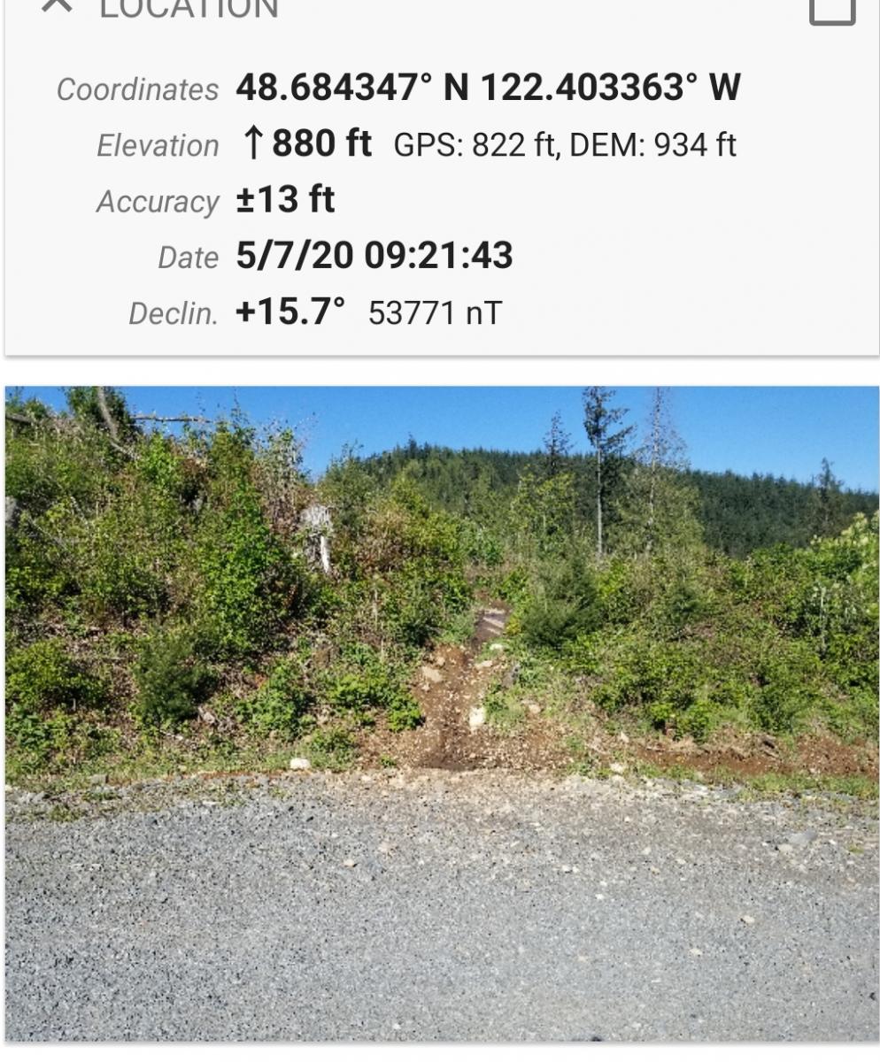
This is an easy hike half on a good road and half by trail.  The area is also used by mountain bikes.  There is limited parking at the gate at location 48.688594 N, 122.403296 W, although few use this trail system.   Follow the well maintained road .6 miles until the place on the right side of the road where the trail begins.  See Picture.:

Drake Peak, OR | Sep 2013

Submitted by K7ATN on
Summit

Follow the directions to the Drake Peak Lookout that is located on Light Peak W7O/CE-004. Head up on foot the 1/3 mile towards Light Peak and watch for the faint road heading east just below the summit.  This is a cross-country route of about 3 miles RT. A GPS may be very useful to find the peak. Although it may look shorter to veer off the road on the return trip to slightly shorten the trip, I'd suggest staying with the road. The rocky peak has a few small trees for supporting poles and antennas.

Milk Shakes West, OR | September 2019

Submitted by K7AGL on
Summit

If you want to practice being a mountain goat, this is the summit for you. This peak is technically in NE Oregon, but you drive there from Eastern Washington. The access road near the summit is better suited for high clearance vehicles and has space for 1 car to park. From there you will need to traverse to the summit without a trail up some very steep terrain. You can navigate around the treed sections easily, so although it is very steep with delicate footing, you won’t have to bushwhack.

Hurricane Hill, WA | March 2018

Submitted by K7ATN on
Summit

Hurricane Hill is the high point of Hurricane Ridge in the Olympic National Park. It's a fairly easy hike in the summer season, and quite a ways farther in the winter on snowshoes. The summer hike is about 3.0 miles round trip, while in winter it will be closer to 5.6 miles. Although the net elevation gain is about 500 feet, you'll be going up and down along the ridge for more elevation gain, especially in winter.

Dixie Butte, OR | June 2017

Submitted by K7ATN on
Summit

If you find yourself along the eastern stretches of Highway 26 and have a high clearance vehicle, this would be a nice hike of about 2.5 miles round trip to an operating fire lookout. You may elect to drive to the summit, but you may find it more comfortable to hike the narrow steep section. There was snow partially blocking the road in late June, another reason to walk the last bit.