
Noise floor....You mean noise ceiling.

Submitted by K9WBZ on
Summit

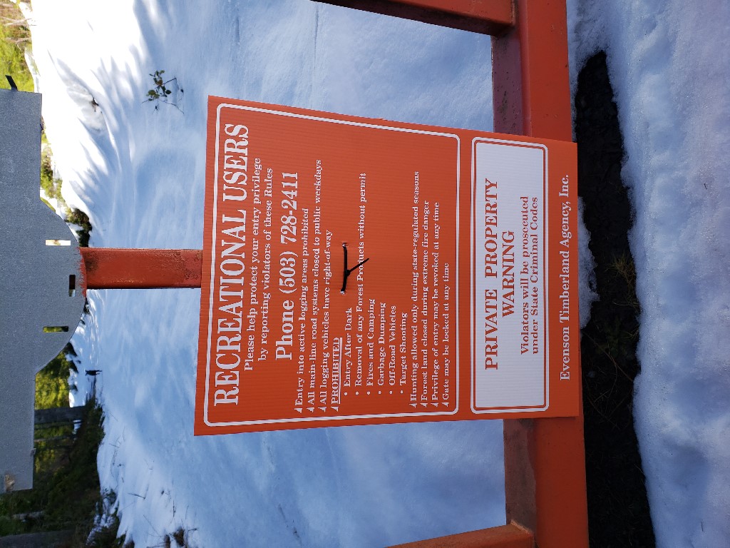
Summary: On 28MAR19 I decided to knock out the first activation on Field Effect Hill (aka Megler Mountain).  The weather started out beautiful and sunny but I ended up having to complete my activation in the rain which contiuned until I had started the hike back down when the sun returned.  Overall, the hike isnt bad but the the horrible wide band RFI in the vincinity of the summit made this less fun for an HF activation than most summits which tend to be far quieter.

Pilot Butte, OR...not the one in Bend

Submitted by K7ATN on
Summit

This is not the "Pilot Butte" that you think you will activate in an easy afternoon within the City Limits of Bend. Its prominance is only 468 feet for a 4138 foot elevation. The Pilot Butte you want to activate is the 5780 foot high 4 point summit with 1400 feet of prominance that's about 20 miles east of Prineville.

The roads off the public highway cross the property of several different landowners and the summit proper is on private land. You may find that access is restricted. Here are directions that may get you near Pilot Butte:

Red Crow Mountain, MT| July, 2017

Submitted by AE7AP on
Summit

5.9 miles, +3,100 ft, -300 ft

Mostly on-trail, Some Off-Trail

The trailhead (Glacier National Park – Lubec Lake / Firebrand Pass Trailhead) is easy to get to, but also easy to miss.  The trailhead parking is on a short (500-foot) loop turnoff from Highway-2 that is squeezed between the highway and the railroad tracks.  The trailhead is 6.25 miles from the main intersection in East Glacier, and 8.6 miles from the John F. Stevens monument at the summit of Marias Pass.


First activation of Benson Point

Submitted by K9WBZ on
Summit

After abortive failures earlier in the day due to lack of access I finally completed an activation on this awesome summit on a beautiful day.


Access to the summit is via gated logging roads with recreation use permitted signs and no motor vehicles allowed.  

Parking is directly off Highway 47 south of Clatskanie at position: 46.041460, -123.248066

SOTA Spotting via Text Message (SMS) Important News

Submitted by WU7H on

If you use the 'SMS to SOTA' spotting gateway to get spotted on a summit, please note that the US number has changed as of Jan 2019! The new number is:  1-424-373-SOTA ( 1-424-373-7682 ).

If you don't currently use the SMS SOTA spotting gateway... well, you should! It just might save your activation some day.

How does one go about using this magical gateway, you ask?

First step is to register by sending an email to Andy MM0FMF (mm0fmf_sota AT intermoose.com). Subject of the email should be: "Please sign me up for your SMS to SOTA spot gateway".

West Tiger Mountain, WA | MARCH 2019

Submitted by WU7H on
Summit

West Tiger Mountain is one of W7W's most frequently activated summits. It is part of the 'Issaquah Alps', and being close to Seattle is a very popular day hiking area. Arrive early to get parking near the trailhead, and don't forget your Discover Pass!

There are a series of summits called 'West Tiger' - the one we are interested in for SOTA is known as West Tiger 1. 

875 Doppler Shift Hill First Activation

Submitted by K9WBZ on
Summit

I completed the first activation on Doppler Shift on 04MAR2019.  The hike is roughly 2 miles from a logging gate.  In my case this gate was open however as with all these gates they can be closed and locked at any time so pass them at your own risk.  I was able to drive about 3/4 of the way up before finding a 'Unauthorized Motor Vehicle Access Prohibited' sign.  At that point I found a spot to park and hiked the rest of the way to the activation point. 

Lucky Peak, ID | Feb 2019

Submitted by K7MK on
Summit

Winter activation of a "standard Idaho 2-pointer" (read: barely achievable especially during winter!).  I took advantage of a newly activated holiday at work (President's day) to activate the closest summit to Boise.  I went up the standard "hiking" summer route.  The round trip on foot is 11.5 miles and 3000 ft vertical.  The summer "4x4 drive-up" route is gated closed Nov-April and is currently under a bunch of snow.